
How the Rio Grande creates geographical—and legal—loopholes - Archpaper.com
▻https://archpaper.com/2018/08/rio-grande-shifts-redraws-boundaries-citizenships
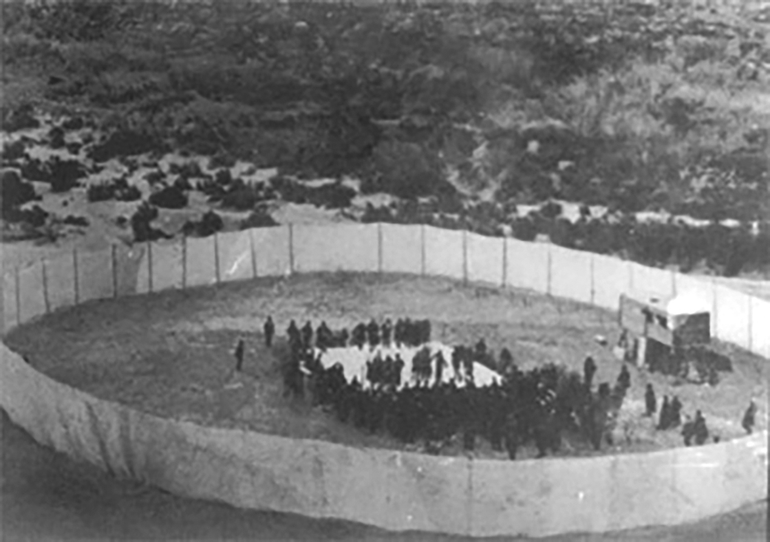
The 1896 Heavyweight Championship in boxing was staged in an improbable location: on a sandbar in the middle of the Rio Grande River. Robert James Fitzsimmons knocked out Peter Maher in a fight that lasted 95 seconds and took advantage of the ambiguous administrative and enforcement conditions of the river boundary. Boxing, you see, was illegal in both Texas and Mexico at the time. After a series of territorial shifts and classic Texas wrangling, the fight promoters decided to stage the fight some 16 hours journey south of El Paso in a remote section of the river away from easy enforcement by Mexican police. In a fight attended by 182 people enclosed inside a canvas tarp fence, Fitzsimmons led with his left, and a minute-and-a-half later, “Maher measured his length on the floor.”
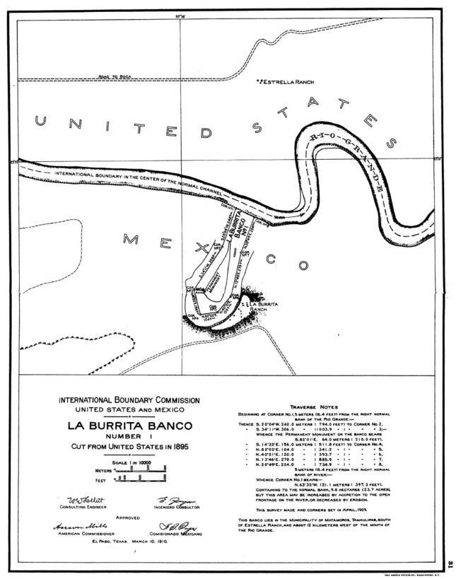
And it is indeed this figurative floor, this once and future bed of the river where the fight was held, that was both the legal loophole that allowed this spectacle to take place as well as the ongoing challenge to bright-line models of international territoriality. In the contemporary media environment where border walls and military buildup occupy our imagination of the boundary, it is easy to forget that well over half of the length of this border is defined by the fluvial boundary of the Rio Bravo del Norte (Rio Grande). Article V of the 1848 Treaty of Guadalupe Hidalgo reads, “The Boundary line between the two Republics shall commence in the Gulf of Mexico, three leagues from land, opposite the mouth of the Rio Grande…from thence, up the middle of that river, following the deepest channel…to the point where it strikes the Southern Boundary of New Mexico.” Yet, as this and the dozens of subsequent treaties, commissions, and surveys attest, this very definition of the boundary is subject to the fundamentally dynamic and unsettled nature of the Rio Grande River.

