straup/Clustr
►https://github.com/straup/Clustr#readme
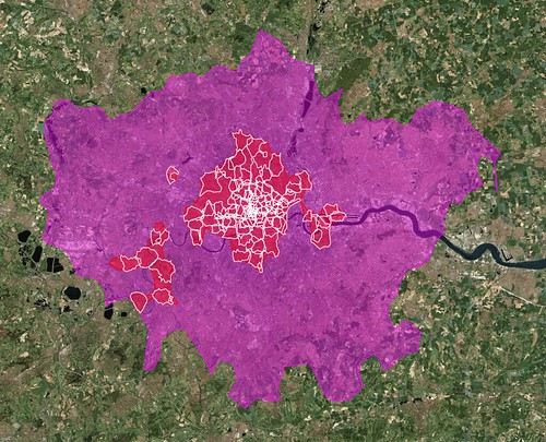
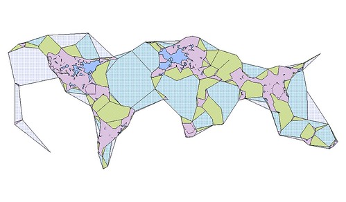
Clustr takes a text file containing longitude/latitude points, tagged with a bit of text, and attempts to generate minimal polygons that “cover” those points, using an “alpha” parameter to determine the notion of “coverage”. The polygons are written to an ESRI Shapefile, suitable for use in GIS software.