


5 Maps that Explain the Arctic - GIS Geography
▻http://gisgeography.com/arctic-maps-help-explain
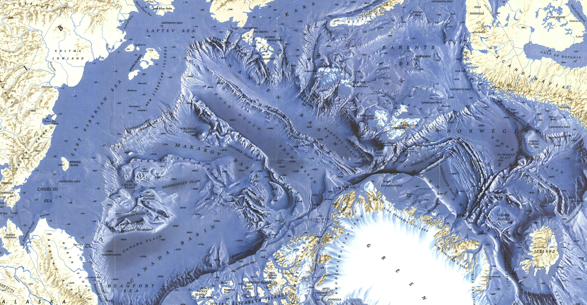
Arctic Maps – Exploring the New & Unknown
What first comes to mind when you think of the Arctic? Ice? Polar bears? Climate change?
It wasn’t until very recently that we’ve gotten a clearer picture of the Arctic.
….But just what are we mapping in the Arctic? Geographic boundaries, climate change, ecology, geology, trading routes, oil exploration, the natural environment and even the research that is taking place in the north of 60°.
Maps are one of the most effective forms of communication ever developed:
They chart territory, they’re practical and communicate ideas. So that’s why this list of Arctic maps is the best place to begin learning about the Arctic. If you want answers about the Arctic, look no further. These visually-inspiring Arctic maps will show you the way.

