


Why Modern Cartographers Are So Impressed With This 16th-Century Map - Atlas Obscura
▻http://www.atlasobscura.com/articles/tlacotapla-map-cartography-accuracy
Merci à Thierry Joliveau pour le signalement.
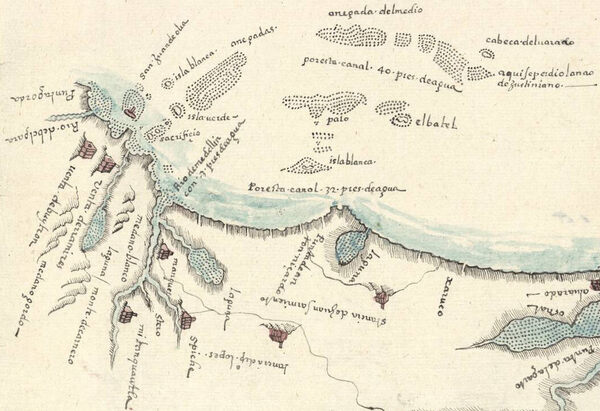
In February 1580, Francisco Gali was headed across Mexico to the Pacific Ocean. A mariner and cartographer who’d crossed the Pacific more than once, he had been living in “New Spain,” as Europeans called that part of the world, and was likely on another official mission that would take him to Asia. To sail out, first he had to make his way down the country’s Atlantic coast to manage a narrower crossing to the Pacific. On his journey, he passed through the coastal towns of the east, where the mayors had a special request of him. Make us a map, they asked.