Mapping Mars with Open Planetary Data | MapBox
►http://mapbox.com/blog/2012-08-26-mapping-mars
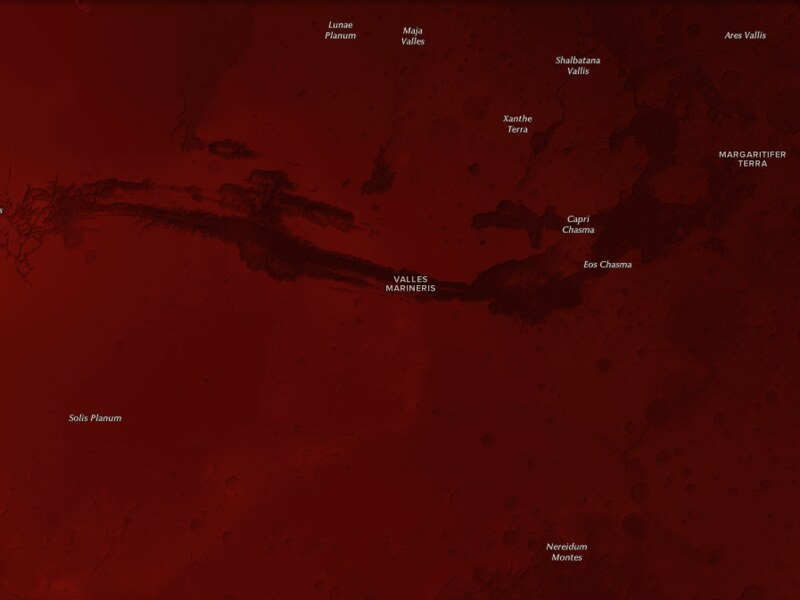
“Inspired by the Mars Curiosity rover, I set out to map Mars using all open source tools (like QGIS and TileMill) and open data. The results of these tools and awesome data are stunning. The first shows Mars as “the red planet,” and the second map uses a more divergent color ramp to show Mars’ topographical variation.”
Toujours à fond chez #mapbox, cette fois ils nous pondent des cartes de Mars.