


Square-Mile Street Network Visualization – Geoff Boeing
►https://geoffboeing.com/2017/01/square-mile-street-network-visualization
@odilon :)
je laisse ce post même si je viens de m’apercevoir que c’est repéré depuis longtemps par icinthis
Square-Mile Street Network Visualization – Geoff Boeing
►https://geoffboeing.com/2017/01/square-mile-street-network-visualization
@odilon :)
je laisse ce post même si je viens de m’apercevoir que c’est repéré depuis longtemps par icinthis


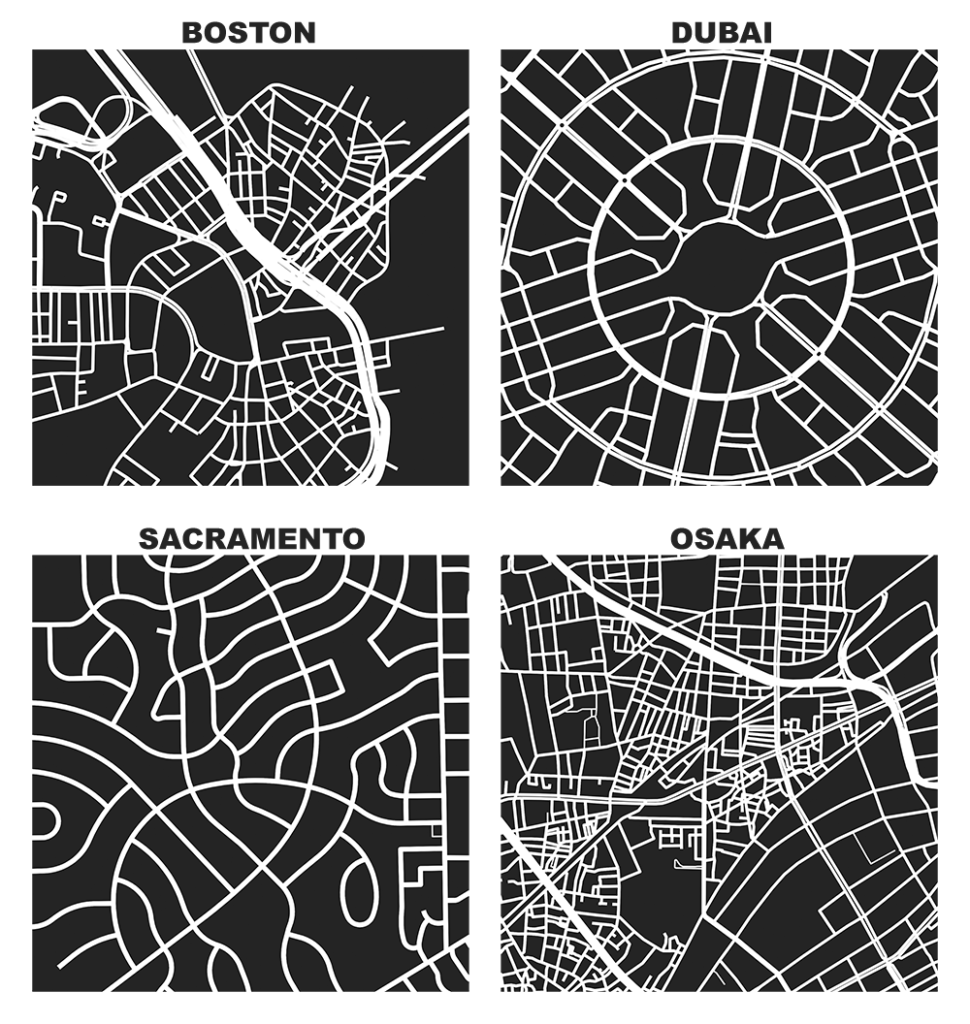
Square-Mile Street Network Visualization
The heart of Allan Jacobs’ classic book on street-level urban form and design, Great Streets, features dozens of hand-drawn figure-ground diagrams in the style of Nolli maps. Each depicts one square mile of a city’s street network. Drawing these cities at the same scale provides a revealing spatial objectivity in visually comparing their street networks and urban forms.
We can recreate these visualizations automatically with Python and the OSMnx package, which I developed as part of my dissertation. With OSMnx we can download a street network from OpenStreetMap for anywhere in the world in just one line of code. Here are the square-mile diagrams of #Portland, #San_Francisco, #Irvine, and #Rome created and plotted automatically by OSMnx.
 https://i0.wp.com/geoffboeing.com/wp-content/uploads/2016/11/gs_portland_san_francisco_irvine_rome.jpg?w=1000#.jpg
  https://i0.wp.com/geoffboeing.com/wp-content/uploads/2017/01/gs_new_york_paris_tunis_atlanta.jpg?w=1000#.jpg
OSMnx : Python for Street Networks - Geoff Boeing
▻http://geoffboeing.com/2016/11/osmnx-python-street-networks
OSMnx is a #Python package for downloading administrative boundary shapes and street networks from #OpenStreetMap
avec le notebook qui permet de reproduire ce genre de cartes :
►http://geoffboeing.com/2017/01/square-mile-street-network-visualization
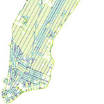
▻https://i1.wp.com/geoffboeing.com/wp-content/uploads/2016/10/gs.jpg?resize=768%2C811


