#Movement data in GIS 10: open tools for #AIS tracks from MarineCadastre.gov
▻https://anitagraser.com/2017/10/28/movement-data-in-gis-10-open-tools-for-ais-tracks-from-marinecadastre-g
MarineCadastre.gov is a great source for AIS data along the US coast.
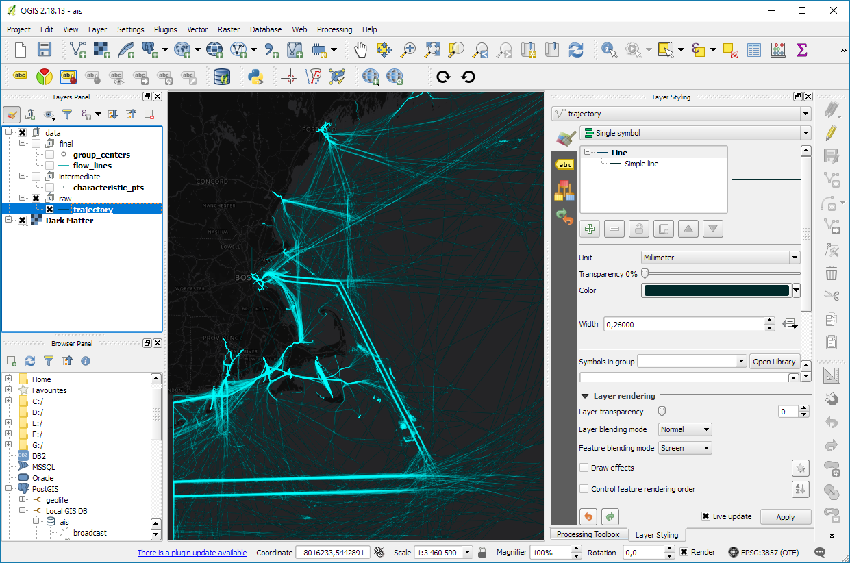
One of the advantages of creating trajectory lines is that they render many times faster than the original points.
With the trajectories ready, we can go ahead and start exploring the dataset. For example, we can visualize trajectory speed and/or create animations:
We can also perform trajectory analysis, such as trajectory generalization: