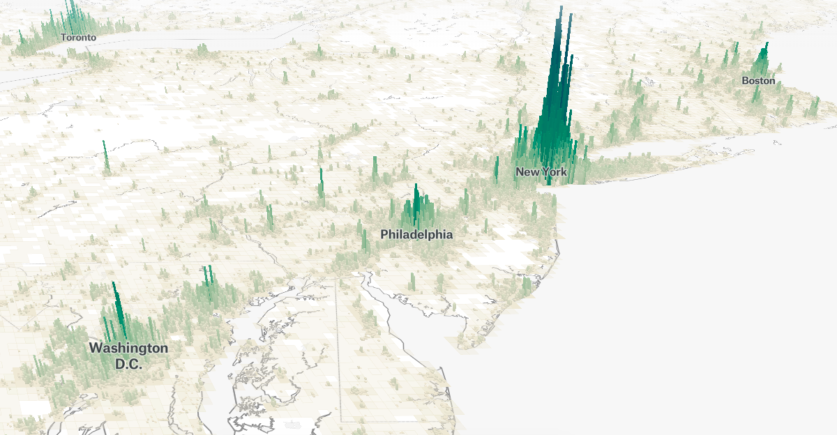
Visualizing the World’s Population, in 3D
This project wields data from the Global Human Settlement Layer, which uses “satellite imagery, census data, and volunteered geographic information” to create population density maps.
Visualizing the World’s Population, in 3D
This project wields data from the Global Human Settlement Layer, which uses “satellite imagery, census data, and volunteered geographic information” to create population density maps.