

How Japan is using an old German map to irk South Korea | Asia| An in-depth look at news from across the continent | DW | 27.03.2019
▻https://www.dw.com/en/how-japan-is-using-an-old-german-map-to-irk-south-korea/a-48078274
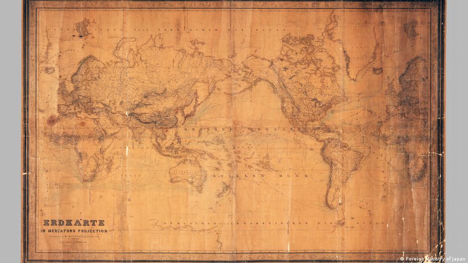
Yellowed with age, with visible creases and slightly damaged on its bottom right corner, a world map drawn up by a German cartographer in 1856 is one of the most prized possessions of the Japan Coast Guard.
In a ceremony in Hamburg on Monday, a copy of the map was donated to Germany’s Federal Maritime and Hydrographic Agency in a gesture that Japan’s Foreign Ministry said was a demonstration of the “good bilateral relations between Japan and Germany.”
However, a single inscription on the map makes the gift a far more significant present, at least in the eyes of Japanese nationalist circles. In small but decipherable letters, the words “Japanisches M” (Sea of Japan) appear over the stretch of water that divides the Japanese archipelago from the Korean Peninsula.
