


Explore the History of Cartography with University of Chicago’s Free Online Archive
▻https://mymodernmet.com/history-of-cartography-university-of-chicago-press
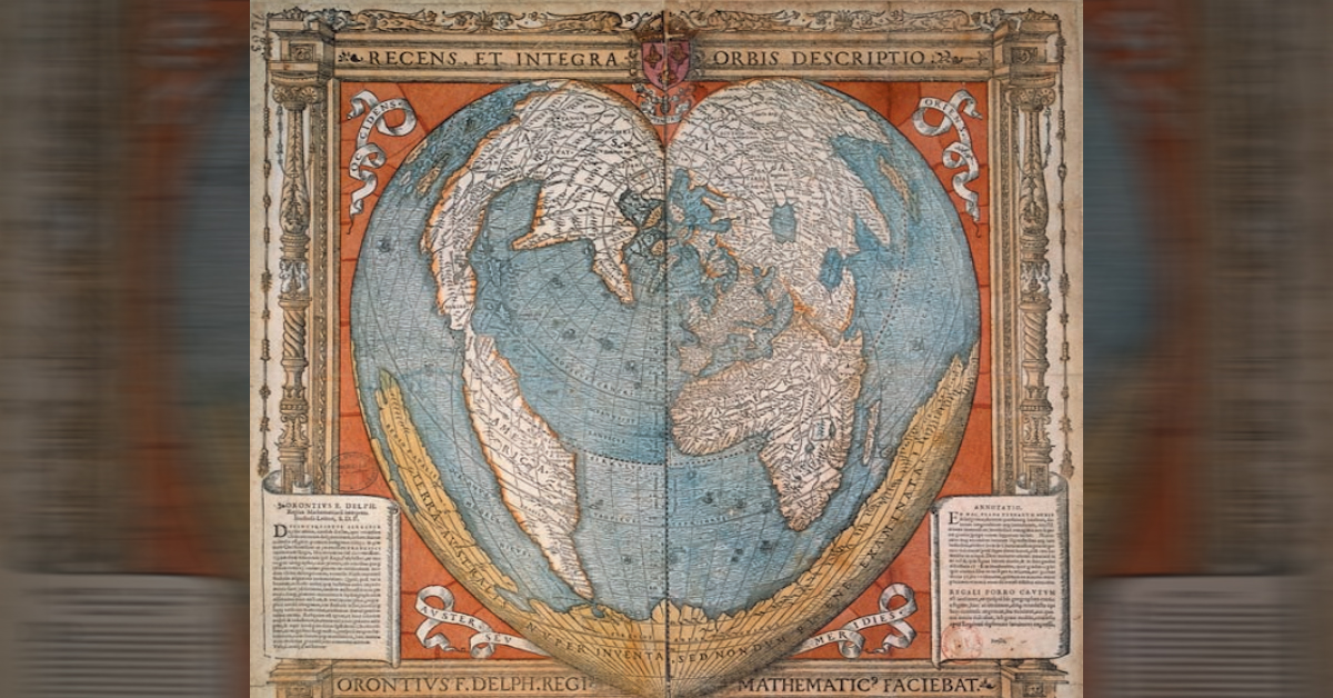
artography, or map-making, has a long history. From cave paintings to ancient Greek explorations, maps have always been used as a vital tool to help us visualize and navigate our way through the world. “Cartography was not born full-fledged as a science or even an art,” wrote map historian Lloyd Brown in 1949. “It evolved slowly and painfully from obscure origins.” Many creators of the earliest forms of maps did not try to illustrate exact geography, but rather abstract representations of real, or even fictitious, locations.
Thanks to The University of Chicago Press, anyone can now explore a fascinating library of early maps. Titled The History of Cartography, the extensive six-volume, multi-author archive includes maps from prehistoric times up to the twentieth century. Each book in the series costs $200; however, the team recently made the first three volumes available online, to download as PDFs for free.