
’Mapping Brooklyn,’ a Joint Exhibition of BRIC and the Brooklyn Historical Society, Explores the Complexities of the Borough - CityLab
▻http://www.citylab.com/design/2015/03/brooklyn-all-over-the-maps/387661
NYC’s 71-square-mile borough to the east has become such a strong cultural metaphor, so easily abstracted to explain other cities, that one can lose sight of the things that make it Brooklyn, not “Brooklyn.” Its tremendous demographic diversity, for example. Its politics. Its pre-colonial history. It’s Casper-the-Friendly-Ghost-shaped outline.
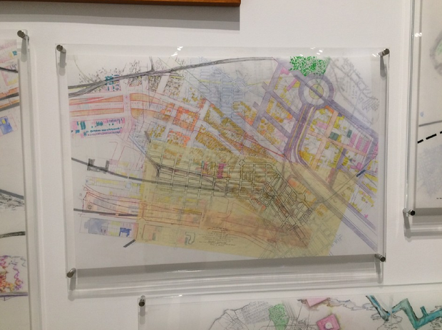
In “Mapping Brooklyn,” a joint exhibition of BRIC House and the Brooklyn Historical Society, the manifold geographies of Brooklyn are on full display. Contemporary artworks that use cartography to examine the borough (and elsewhere) are shown side by side with maps from the historical society’s collections, adding up to a complex portrait of a complex place.