
How L.A.’s urban tree canopy reveals hidden inequities
▻https://www.nationalgeographic.com/magazine/graphics/how-los-angeles-tree-canopy-reveals-hidden-inequities-feature
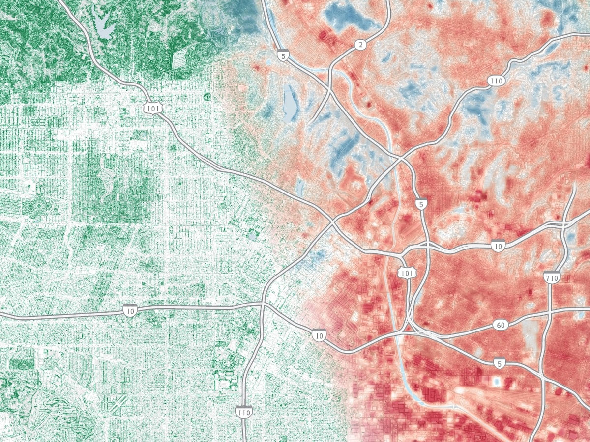
A drive from north to south down Vermont Ave in Los Angeles, California, reveals how trees on the city’s streets change with the income level of each neighborhood.
Four areas (designated as A, B, C, and D) along a six-mile stretch of the avenue exemplify the differences between L.A.’s richest neighborhoods, filled with large shady trees, and its poorer ones, where trees are often smaller and hard to find.
This disparity, in full view if one knows to look for it, is one that leaves many residents exposed to increasing and unhealthy heat levels.