


The U.S. Congress without gerrymandering | Phil Ebersole’s Blog
▻https://philebersole.wordpress.com/2016/01/19/the-u-s-congress-without-gerrymandering
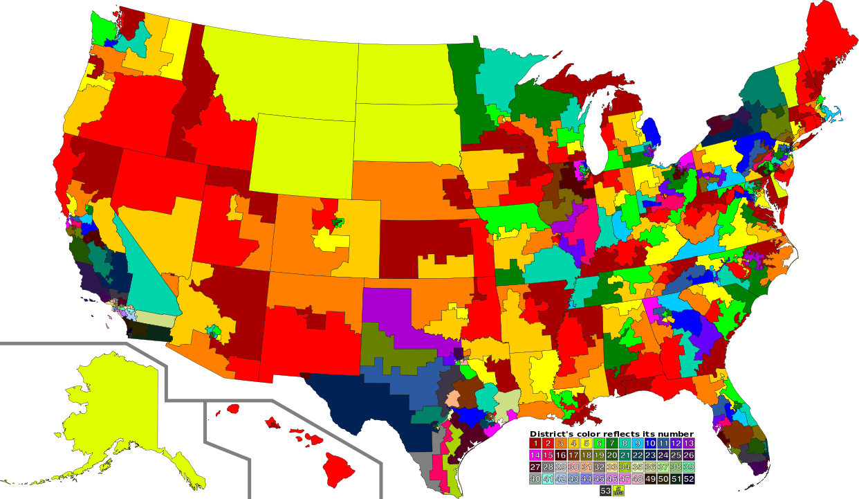
The map above shows U.S. congressional districts as they are today.
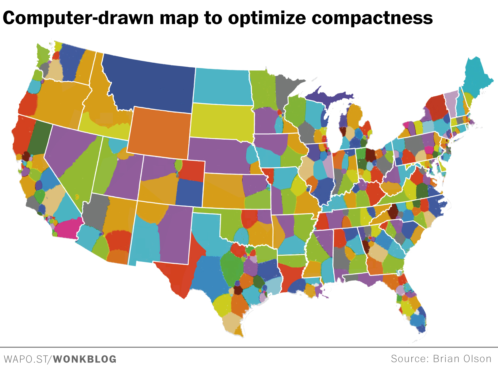
The map below shows U.S. congressional districts as they might be using a computer-generated algorithm to make the districts compact.
Avec cette remarque
Any neutral drawing of boundaries will give some advantage to Republicans and to us white people, because Republicans and whites are more spread out while Democrats and minority groups tend to be concentrated in cities.
That means that in a particular state, Democrats could have a majority of the whole state’s vote, but Republicans have a majority in more congressional districts than Democrats do.
I don’t see any good answer to this. A neutral formula such as the one above would be less one-sided than what we have now.
Suite au billet de @reka (merci !) (▻http://seenthis.net/messages/451971 ) sur le #redistricting #gerrymandering, le dernier billet (tout frais, 19/01/16) sur le blog de Phil Ebersole.