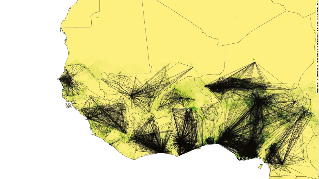
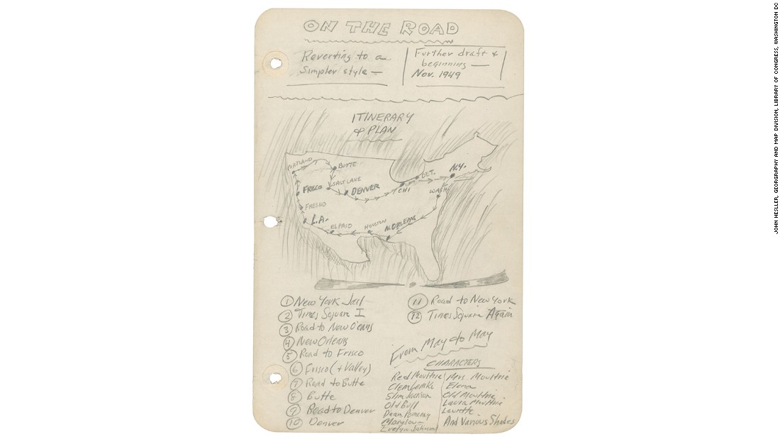
Assembling the world in an image: 15 of history’s most revealing maps - CNN.com
►http://edition.cnn.com/2015/12/18/design/historys-most-revealing-maps/index.html
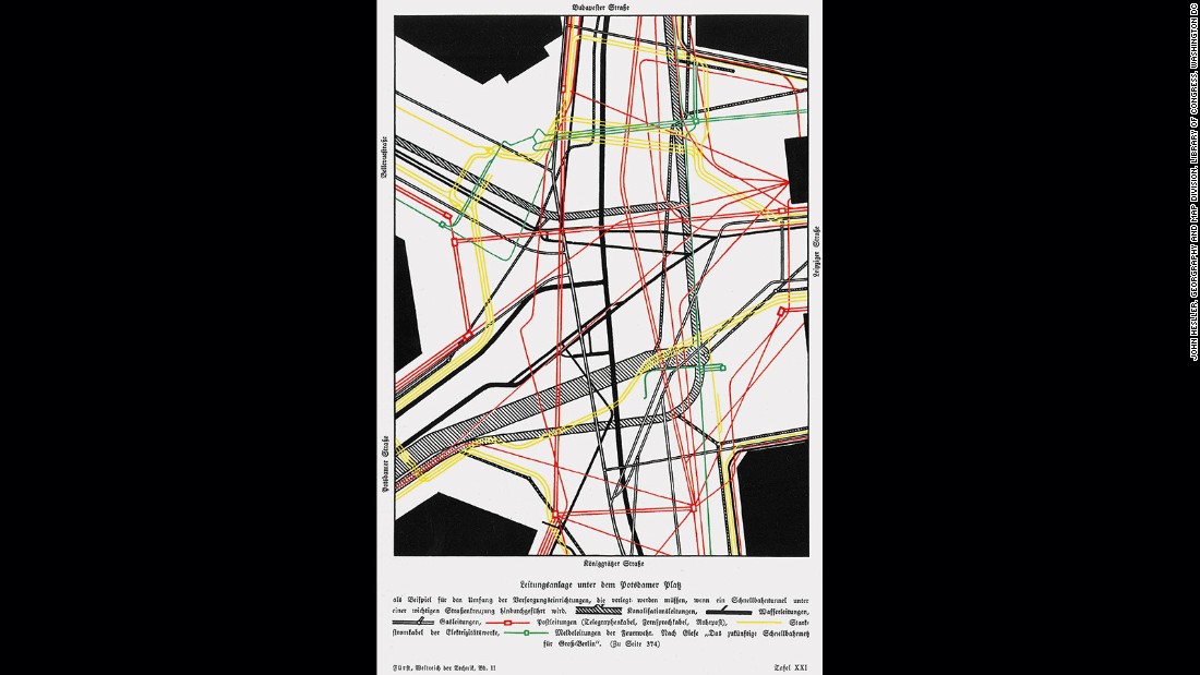
Supply lines under Potsdamer Platz – Although meant to show something as pedestrian as the underground infrastructure of Berlin this map was far ahead of its time, both in its design, and also in being one of the first maps to treat the infrastructure of a city as a system of networks. The design of the map highlights one of the keys to successful map construction and which concerns itself with the mapmaker knowing what to leave out. Here we see no labels, text or anything else that might interfere with the perception of the network and spider web structure that the mapmaker was trying to get across to the viewer.