

The Accidental Revelations of Sanborn Maps - Bloomberg
▻https://www.bloomberg.com/news/articles/2014-10-13/the-accidental-revelations-of-sanborn-maps
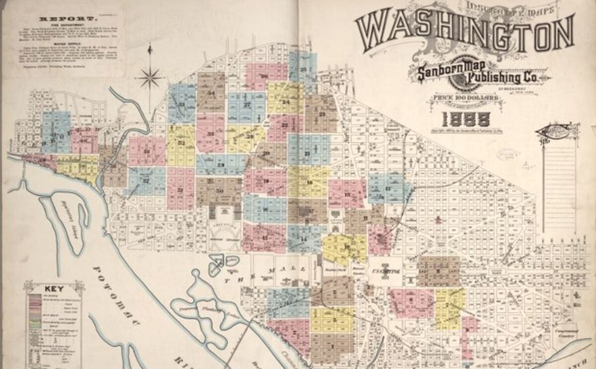
Daniel A. Sanborn created these maps for one, very specific (and kind of dry) reason: to provide insurers a catalogue of city structures that could be fire risks. But over the years, these maps came to serve another purpose. Flipping through a series of maps of the same location, you can see mushrooming buildings, shops, and churches and deduce who lived, worked, and prayed in these structures. So, apart from insurance companies, historians, genealogists, and scholars started looking them them up for the moving pictures of urban growth that they offered.
“It was accidental in some respect,” says Chris Genovese, general manager at Sanborn, which still offers mapping services with updated technology. When they started the maps, they had never imagined they would be of use to anyone else but their insurance-company patrons.
#cartographie #cartoexperiment #cartographie_des_risques #washington_DC