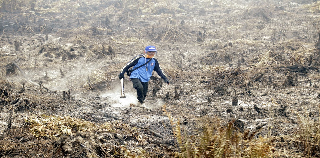
Peatland mappers win $1m to help tackle Indonesian haze ...
▻http://news.trust.org/item/20180202095105-978cz
An award-winning method for mapping Indonesia’s vast peatlands, developed by Dutch, German and Indonesian scientists, will help the Southeast Asian nation tackle annual fires that harm health in the region, the organisers of the prize said on Friday.
The International Peat Mapping Team (IPMT) will receive $1 million for winning the two-year competition, funded by the David and Lucile Packard Foundation and managed by the U.S.-based World Resources Institute (WRI).
“To be able to manage peat well, we needed to have a map, and the map we had before was not that comprehensive,” said Nirarta Samadhi, director of WRI Indonesia.
Indonesian government agencies, which helped organise the competition, will start using the new methodology as soon as possible, said Supiandi Sabiham, co-chair of the judges.
The IPMT’s approach, which combines satellite imagery, LiDAR technologies and on-the-ground measurement, won for its accuracy, speed and affordability, added Sabiham.
Peat soils contain huge quantities of carbon in the form of organic matter, which accumulates over thousands of years and provides nutrients for plant growth.