


How has map reading changed since the 1600s? | OUPblog
▻https://blog.oup.com/2017/01/map-reading-1600s-gps-literacy
iteracy in the United States was never always just about reading, writing, and arithmetic. Remember in the 1980s and 1990s the angst about children becoming “computer literate”? The history of literacy is largely about various types of skills one had to learn depending on the era in which they lived. Some kept their name, but changed in substance. Map literacy is one of those.
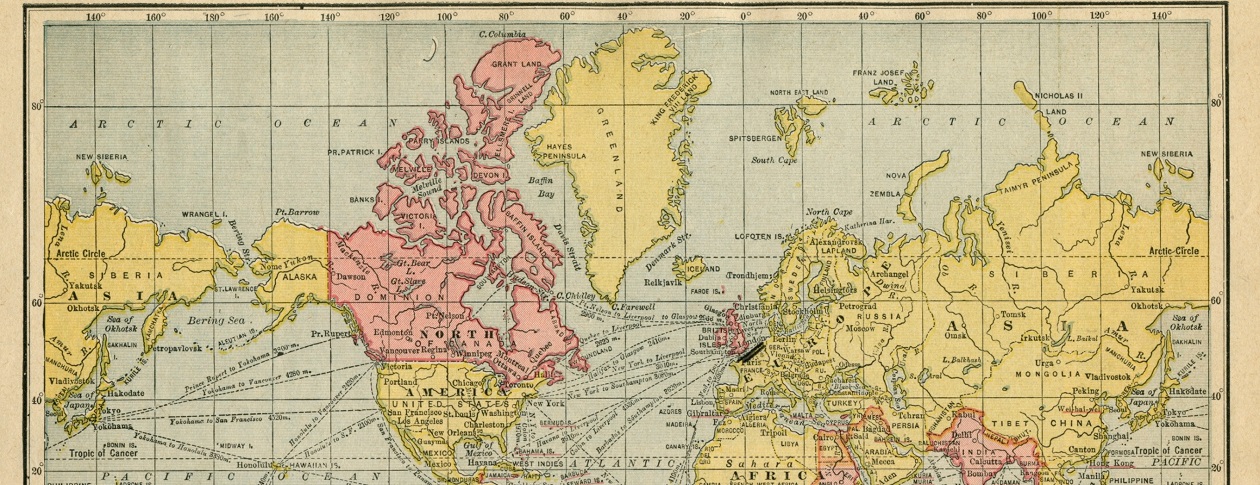
When colonists began occupying the North American continent in the 1600s, it soon proved essential to know how to draw a map, such as of the boundaries of one’s farm or town, and to be able to read a map. When Thomas Jefferson completed the Louisiana Purchase in 1803, the first thing he did after recovering from sticker shock—the deal had cost 50% more than the annual budget for the entire federal government—was to immediately send a team of soldiers and scouts to map what he had just purchased. His Louis and Clark Expedition developed some of the initial maps of the continent from Virginia to the Pacific Ocean. For the rest of the 1800s when it was not fighting wars or Indians, the US Army mapped in detail the United States.