OpenTopoMap - Topographische Karten aus OpenStreetMap
▻http://opentopomap.org/#map=5/47.220/3.955
Cool, bientôt un nouveau fond de carte dans le plugin #GIS pour #SPIP :)
OpenTopoMap - Topographische Karten aus OpenStreetMap
▻http://opentopomap.org/#map=5/47.220/3.955
Cool, bientôt un nouveau fond de carte dans le plugin #GIS pour #SPIP :)
Et hop, elle est dispo dans GIS 4.26.9 :

Il est très beau ce fond.
Avec le relief de La Paz, ça va être plus sympa que le fond actuel de GeoBolivia qui n’a pas de lignes de niveau - on dirait que c’est tout plat
▻http://geo.gob.bo/mapfishapp/map/181a81be4602c3e3a6e6a8f16a0ddaf3
Pas de bol, opentopomap ne génère pas le fond pour nous :
▻http://opentopomap.org/#map=11/-16.4940/-68.1475
Avec GeoBolivia, on va tenter de le générer avec les données #OSM et #SRTM, je donnerai des nouvelles si on y arrive.


rv & hervé : recherche d’itinéraire #vélo minimisant l’énergie en utilisant les données d’OSM
▻http://linuxfr.org/users/jben/journaux/rv-herve-recherche-d-itineraire-velo-minimisant-l-energie-en-utilisant-les-
En bref
J’ai développé un moteur de routage basé sur l’énergie pour les vélocipèdistes utilisant les données d’ #OSM et #SRTM, et j’ai encore des projets d’amélioration du moteur de routage.
Je propose une interface de démonstration, et je recherche des gens pour développer une vraie interface web. Au niveau licence, je demande juste une licence approuvée par l’OSI.
Le code et la documentation sont disponible sur un répo git. Tout est disponible sous licence BSD-2.
L’infrastructure jusqu’à maintenant à été fournie par #OpenStreetMap France que je remercie vivement. Si vous avez envie de financièrement soutenir ce projet, c’est à OpenStreetMap France qu’il faut donner, c’est par ici.
Pour me contacter, vous pouvez répondre à ce journal, m’envoyer un courrier électronique (vous trouvez mon adresse dans les commits du répo git), ou encore venir me voir sur irc, je fréquente le salon #osm-fr sur oftc.
Deux exemples :
Optimisation de la distance
▻http://osm104.openstreetmap.fr/herve/#98
Optimisation de l’énergie
▻http://osm104.openstreetmap.fr/herve/#99
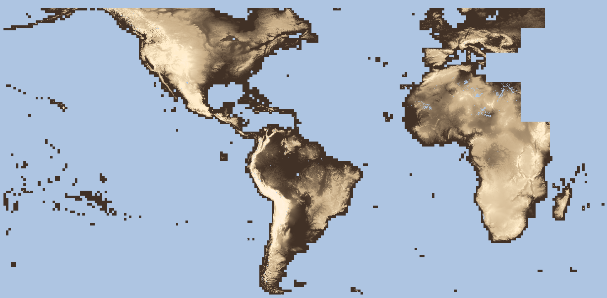
30 meter resolution SRTM-2 dataset will be released with worldwide coverage… All rejoice - goodbye 90 meter resolution ! Data for Africa will come first.
▻https://www1.nga.mil/MediaRoom/LeadingStories/Pages/NGAreleaseshigh-resolutionelevationdatatopublic.aspx
#SRTM #NGA #NASA #maps #cartes #cartographie #cartography
ça avance...
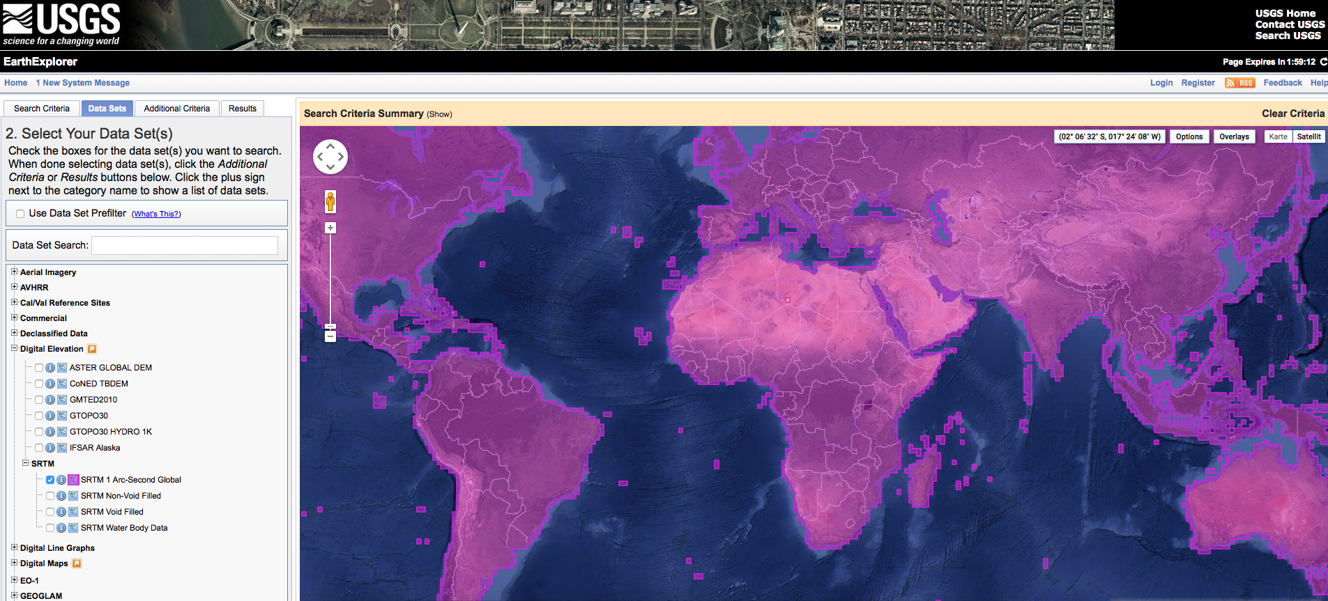
After the initial release of data for Africa the USGS has put up more full resolution SRTM data for Europe and America – still missing are only Asia and Australia.
And by looking on the calendar we checked back again: The gaps of the dataset are now filled and you can download this great resource for free
▻http://www.digital-geography.com/short-announcement-srtm-1-data-worldwide